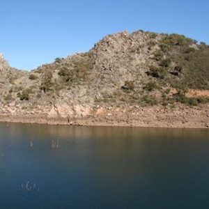
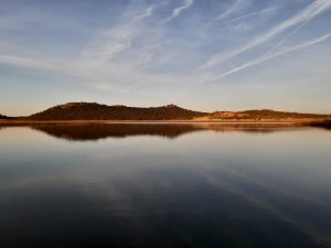
Horno Tejero and Boquerón lakes

Characteristics of Horno Tejero and Boquerón lakes

Horno Tejero and Boquerón
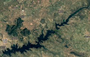
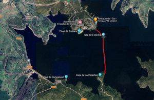
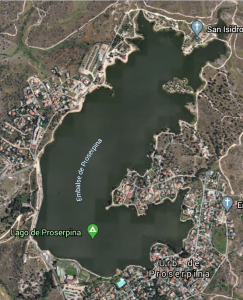
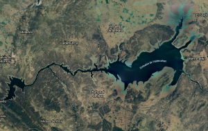
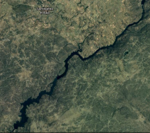
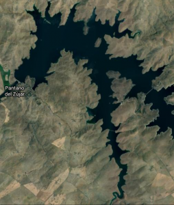
Horno Tejero and Boquerón map

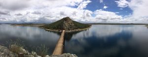
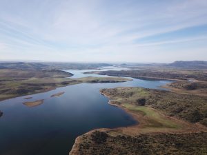
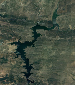
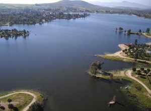
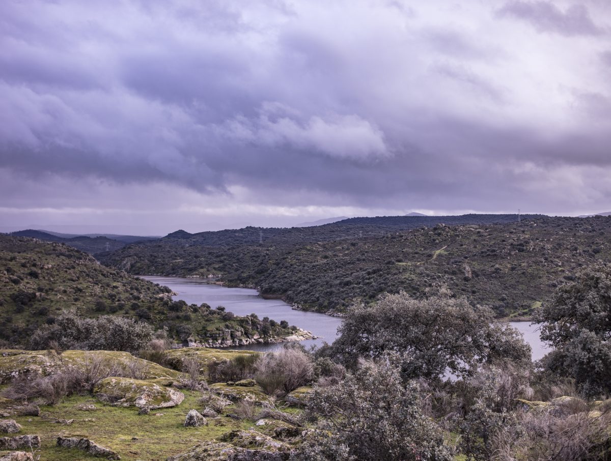
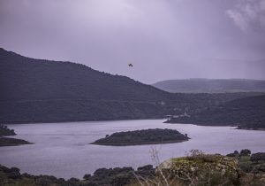
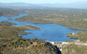
The Horno Tejero reservoir has a capacity of 24 hm3 and a flooded area of 283 hectares. Boquerón is smaller, with a capacity of 6 hm3 and 124 hectares. Despite being small, Horno Tejero and Boquerón lakes are famous for the size of their catches. They are reservoirs for the supply of the population, so they do not usually have sudden changes of level. Generally we will find them near their maximum capacity, between 20 and 22 hm3 Horno Tejero and between 4 and 5 Boquerón. Its waters are very clear except for occasional moments of heavy rain and large floods in the streams. Do you want to know the level in real time? Click here and here.

Currently both are fishing preserves, managed by a local society of fishermen, but we can get permits in Budiex store in the municipality of Cordobilla de Lácara itself.

Bottom composition and structures

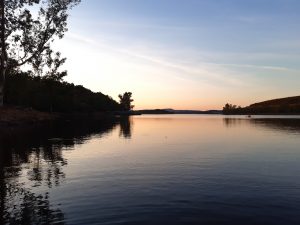
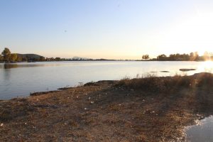
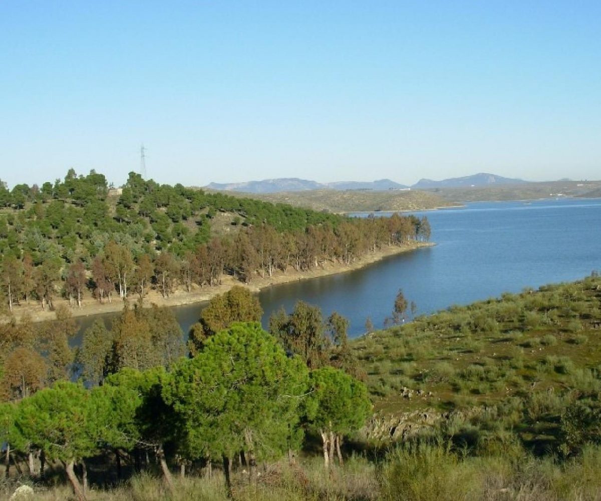
Horno Tejero lake
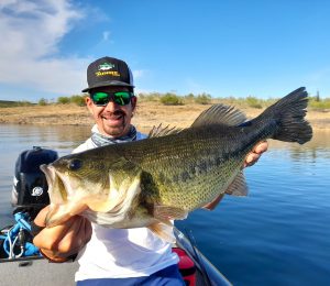
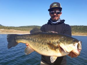
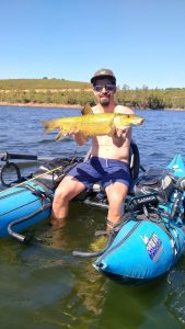
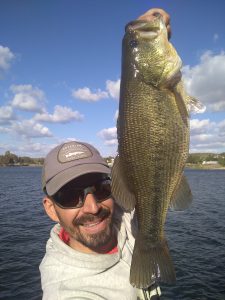
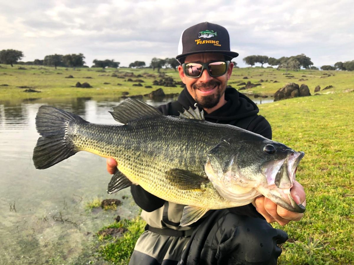
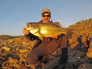
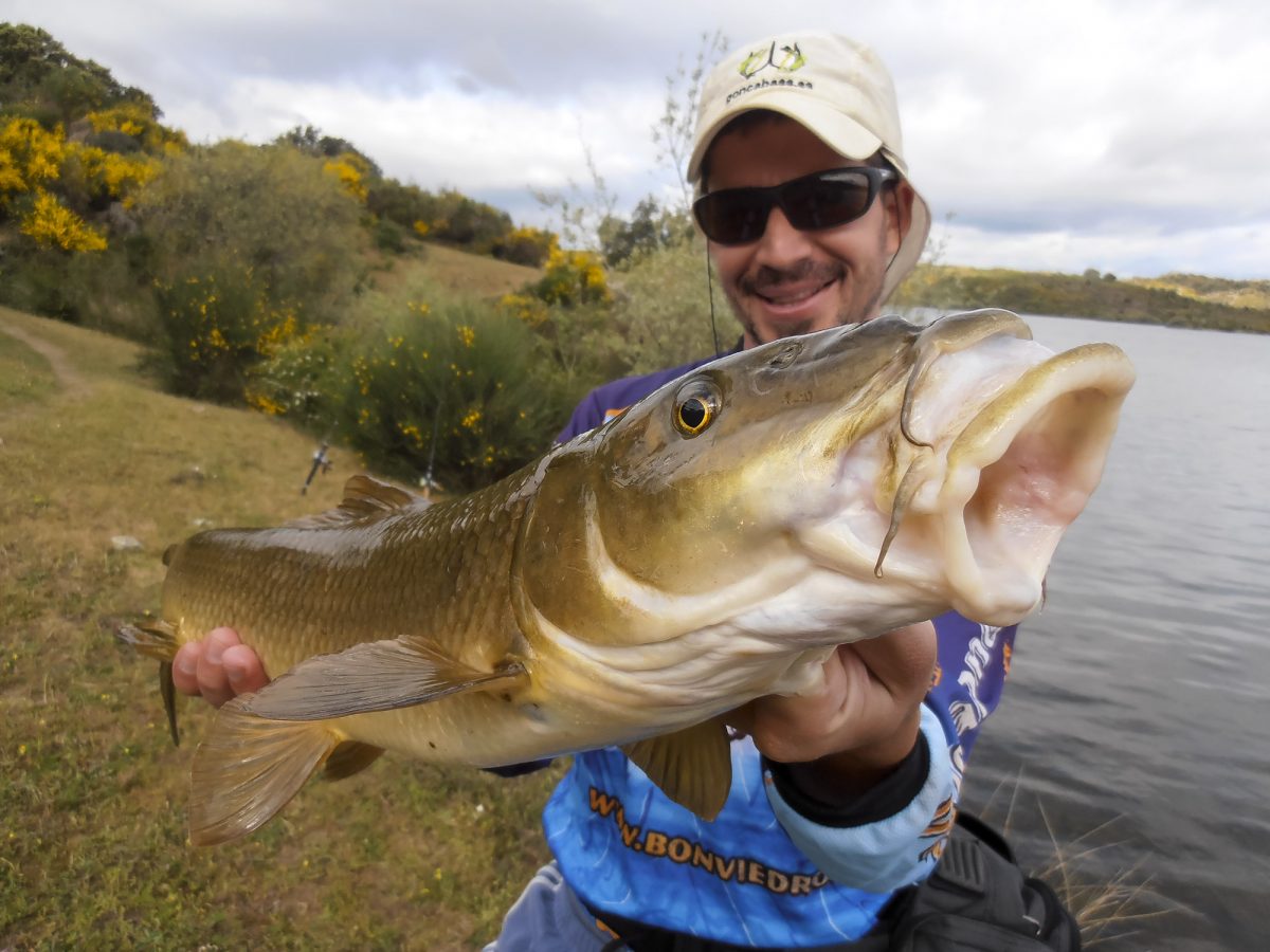
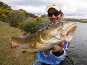
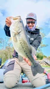
Medium sized bass from Horno Tejero

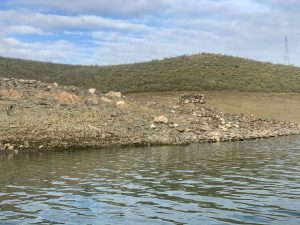
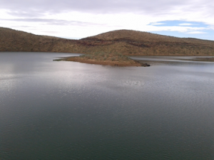
They are characterized by very gentle slopes and hardly any rocky structures. Except for a couple of areas where there is a little more unevenness, it is very difficult to access great depths fishing from the shore, an important factor to take into account when we face our fishing days.

The structures are practically reduced to the walls and their surroundings. In Horno Tejero there is also an old road, its slope and some very long points, but hardly steep, with a rocky bottom formed by schists and quartzite.

Vegetation and cover

Wood cover
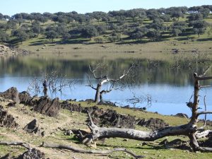
Eucalyptus Horno Tejero

In Horno Tejero we have large areas of dry eucalyptus trees surrounding some banks of the reservoir, most of them remain standing although there are some lying down. These areas are only interesting when the reservoir is practically at 100% of its capacity, since as soon as the level drops to 21 or 22 hm3, most of them stay out of the water or in very shallow areas.

There are also remains of bush, mainly rockrose, which in rainy years can provide some cover for fish, although there are fewer and fewer of them and they deteriorate over the years.

The Boquerón reservoir, on the other hand, is almost entirely surrounded by reeds and cattails. This vegetation offers a very interesting cover, especially in years when it is at a high level. There are also some submerged holm oaks.

In the mouths of the creeks we have presence of underwater vegetation and some weeds, although they are not very significant.

Main fishing species

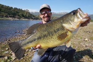
Nice postspawner
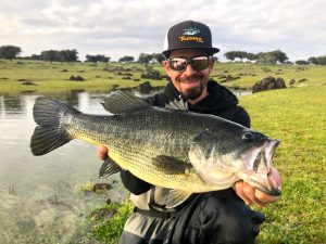
Black bass Horno Tejero

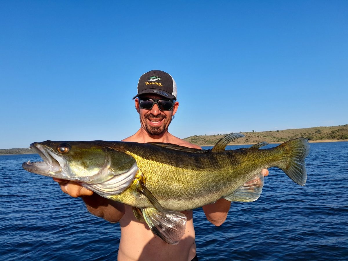
In spite of being two rather small reservoirs, both are famous for the enormous sizes that their black bass and carp reach. Their crystalline waters and low slopes make it a real challenge, however.

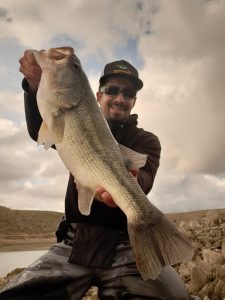
  • Black Bass. The population of Horno Tejero is very interesting, although it is a very complicated reservoir to fish due to the scarce cover near the banks and the shallow depth. In Boquerón the depth that we can reach by fishing from the shore is also scarce, although when it is high there is indeed plant cover. There is a good population of medium sized fish and some specimens even reach 3 kg in weight.
    long, fat pike
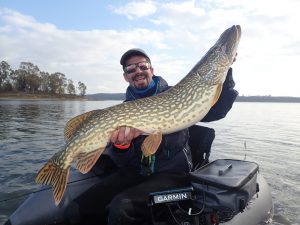
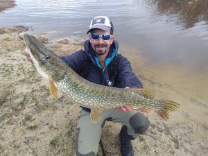
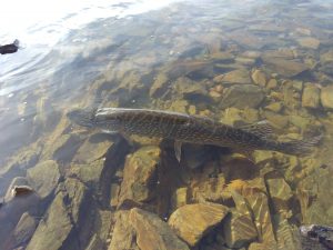
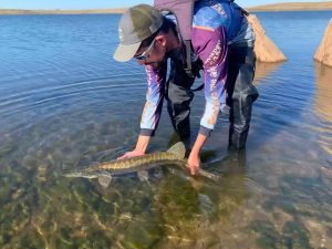
    Pike Horno Tejero
  • Pike. It is also an abundant predator in both reservoirs, although it does not stand out for reaching large sizes. We can spend entertaining days with multiple captures of small and medium size.
  • Carp. Probably if this reservoir is famous for something it is for its big and elusive carps. Several specimens have been caught weighing more than 30 kilos and there is a good density of quality fish, with frequent catches above 15 kg.

Baitfish in Horno Tejero and Boquerón

They are one of the few reservoirs in which the bleak has not yet made an appearance. This does not prevent the predators from having a practically “unlimited” source of food with the crawfish, whose densities are very high.

The sunfish is also abundant in both reservoirs and we can find some tench.

Access and navigation

Nowadays, navigation is allowed in both, so float tubes, pontoons and small boats can be used. A good part of the banks are easily accessible, due to the “flatness” of the banks. However, in order to access certain areas we will have to walk several kilometres as there are not many roads leading to the water.

Since May 2024 it is not navigable by any flotation device as a measure to avoid the propagation of Ludwigia sp and also one of its tails is a breeding area of Bonellí’s eagle.

La Serena lake

Characteristics of La Serena lake
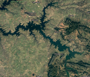
La Serena
Map Serena

With 13949 hectares and a maximum capacity of 3219 hm3, La Serena lake is the largest in the country and the second largest in the peninsula, only behind Alqueva, which is mostly in Portugal. It is located on the River Zújar, one of the rivers with the most irregular flows in Spain. One of the main reasons for its construction was to regulate this flow as the capacity of Zújar lake wasn’t enough to do it.

Currently its uses are also electricity production, supply and irrigation, being a reservoir generally without major fluctuations except in very rainy years. Its average level is between 2000 and 2500 hm3, although in the last 3 years it has been really low. Do you want to know its level in real time? Click here.

Bottom composition and structures

The reservoir is located in an environment of great plains with little trees. These lands were used for extensive cattle raising before the construction of the reservoir. The reservoir is a continuous succession of peaks and creeks with gentle slopes and many islands that become peninsulas when the level drops.
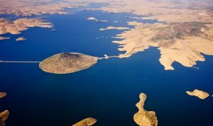
Aerial view
La Serena lake

In general, there are not very marked changes in depth and at the bottom there are areas of sand with other areas where the mother rock appears (shales and sandstones), also finding some areas of loose stones. We found many submerged anthropic structures, due to the great extension that was flooded by its construction, getting to flood entire villages. Therefore, in some areas we can find remains of buildings, stone walls and other structures.

Due to its extension we find several bridges that offer very interesting shade spaces, especially in summer.

Vegetation and cover
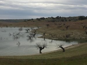
Creek full of holm oaks
Trees in La Serena, Carlos Diaz Domingo

There is a good part of the reservoir that is “bare” but we can find several areas with dry submerged bushes, isolated trees and some small forests of oaks and eucalyptus.

These submerged forests are really famous for being frequented by really big pike. Some of the biggest pike in Spain have been taken here!

Although it does not usually have very sudden changes in level, variations can be quite a few meters in the vertical from one year to another. This makes it difficult for underwater vegetation to proliferate, which is only found at creek mouths in small strips.

Main fish species
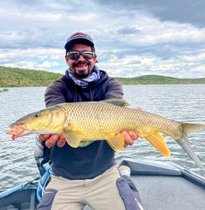
La Serena is a huge reservoir in which we can find fish of all sizes. It’s famous for its big pike although we can also find very good specimens of black bass, barbel or catfish.

  • Black Bass. The enormous extension of the reservoir makes its location complicated, as there are kilometres and kilometres of shores that are not the most suitable for its presence. The population is good and they reach really big sizes, although generally not as big as in the neighbouring reservoir of Orellana.
  • Pike. In the case of pike, it’s the other way round, the density is probably lower than Orellana’s but we have a better chance of catching a really big pike. When I say really big, I mean pike above 110cm, with specimens being caught above 120cm.
  • Channel catfish. In both La Serena and El Zújar we can catch large channel catfish, some of them exceeding 10 kg.
  • Barbel. There is a very large population of small and very aggressive barbels, which will attack without hesitation all types of lures for much of the year. There are also “becero” barbels, a subspecies endemic to the area, which is not so aggressive but can be caught with a fly fishing rod, offering beautiful fights.
  • Carp. Very abundant in the reservoir, the population of small and medium size carp is very large, being able to capture them by feeder, match or still fishing. We can also capture large specimens above 10 kg.

Baitfish in La Serena lake

In addition to the bleak we find large schools of other small fish among which we can highlight barbels, carp, crucian carp, channel catfish … and there are still some nase. It is a reservoir with a very large population of cyprinids. There is also crawfish and sunfish.

Access and navigation
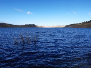
La Serena Lake
View of the dam with a really low level

Sailing is allowed, both with explosion and electric engines and of course also with kayaks, float tubes or pontoons.

The shores are generally very comfortable to walk on, although there will be days when we have to walk quite a few kilometres until we find the fish.

There are many paths around the reservoir, most of which end in cattle sheds… So we must be prepared to walk a few hundred meters to reach the shore in most areas.

Orellana lake

Characteristics of Orellana lake

Orellana
Orellana map

With a capacity of 808 hm3 and a surface area of 5084 hectares, Orellana lake is one of the European references for predator fishing. Its high quality and crystalline waters make it one of the most difficult reservoirs to fish. Another factor that also influences this difficulty is the great density of baitfish and crawfish, providing almost unlimited feeding possibilities for the fish that live here.

Speak about Orellana is to speak about a reference lake at European level in the fishing of black bass, carp and pike but also for birdwatching.

Electricity production, supply and irrigation are its main uses. We can also highlight the river beach present in the town of Orellana la Vieja, the only freshwater beach with blue flag certification. Its level is relatively stable, there are usually no abrupt changes and it tends to oscillate between 550 and 700 hm3. Do you want to know the level in real time? Click here.

Bottom composition and structures

Orellana lake
Cogolludo bridge, Bastien Nicolay

It is a reservoir in which we can find all types of slopes and structures although moderate slopes predominate. The predominant rock at the bottom is slate. Except in some very specific areas, the slopes are not usually too steep so we can walk along the bank without problems in almost all its contour.

Here we can find large beaches with little slope, really long points (very characteristic of the reservoir), islands, cut areas, rip rap, areas with large rocks… In addition, in some specific points there are remains of old buildings and some stone walls, although they are not very common structures. The presence of two large bridges should be highlighted: Cogolludo and Casas de don Pedro in which there is usually a very good concentration of predators.

Vegetation and cover

Aerial view of Orellana
Orellana lake, Samuel Cuenda

The reservoir is not characterised by an abundance of wood, although we can find submerged holm oaks in some areas of the reservoir.

For several years now, the main cover has been algae. There are large seaweed beds, the size of which varies according to the changes in level and the time of year, but in general they are very abundant. On the other hand, there are reeds and small bushes that are only covered by the water when the water level is really high.

This large amount of seaweed is going to be fundamental when choosing our lures, as many times we will not be able to use lures with trebles because it is impossible to cast without hooking into them.

Main fish species

Black bass Orellana
Beautiful post spawner

Orellana lake is especially famous for the size of its black bass and carp, as well as for the abundance of pike, which also reaches very good sizes.

  • Black Bass. It is one of the reservoirs in which black bass reach the best weight/length ratios in the whole country. There is an excellent population in which specimens of all sizes abound and specimens can be captured weighing over 4 kg. Black bass have always reached a good size in this reservoir, but in recent years the specimens that exceed 3 kg are increasingly frequent.
Pike from a float tube
Big pike Orellana
  • Pike. Although in recent years Orellana has gained a good reputation for the size of its black bass, it has always been a benchmark for pike fishing. There is an abundance of small and medium sized pike, pike between 80 and 100cm in length are relatively abundant, and it is not uncommon to catch specimens exceeding one metre.
  • Carp. It is also a reference in the world of carpfishing, considered by many fishermen as “the Mecca”. There is a very good population of big carp, not being rare the captures over 20 kg and occasionally reaching more than 30. Nevertheless it is one of the most difficult reservoirs to catch them.
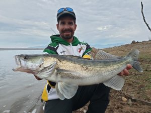
  • Zander Orellana
    Nice summer zander

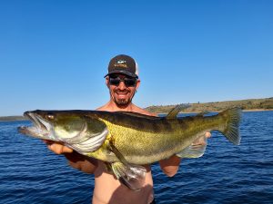
    Zander. Present in the reservoir in the last few years, populations of this benthic predator have soared. Really large catches are still not frequent, but nowadays we can already catch some good sized ones. Also we can already enjoy days with several dozens of small and medium size catches in a single day.

Baitfish in Orellana lake

Black bass Orellana 2
This magnificent bass was feeding on bleak

The bleak has been present in the reservoir for many years. In the beginning it was common to see huge balls of bleak in the main watercourses as well as in the water inlets. In the last 2 years their population has been drastically reduced with the arrival zander. Now in 2024 we start to see shoals again and it is expected that their populations will recover quite a lot in the future.

The crawfish is also incredibly abundant, which is why we are in a reservoir where the fish have plenty of food in all the water layers.

Finally, it is worth mentioning the sunfish, also abundant and together with the fry of the predators themselves, it complements their diet.

Access and navigation

big bass Orellana
My current Black bass PB

Navigation is permitted in most of the Orellana reservoir, except for a section at the main tail. This section is forbidden because it is considered a sensitive area for the reproduction of protected birds. Since July 2024, motorized navigation has also been prohibited in the area near the dam, indicated on the map below (to the left of the red line).

Most of the banks are easily accessible for shore fishing, but we must bear in mind that access is limited, with areas of several kilometres that cannot be reached by any local road. If you want to avoid the trek and have a better chance of catching a record fish, don’t hesitate to contact  the guides we collaborate with.
For fishing from float tube or pontoon, no permit is required, because if they are less than 2.50m long, they are considered to be a complement to bathing according to the current legislation (2024). If you want to use an electric motor you would need a licence.


Peña del Águila lake

Characteristics of Peña del Águila lake

Villar del Rey lake
Peña del Águila map

With a capacity of 131hm3 and an area of 1274 hectares, Peña del Águila lake, also known as Villar del Rey lake, although small, is one of the most beautiful reservoirs in the region. It is one of the few reservoirs where you can walk for miles and miles on the shore without meeting anyone, and that today is a privilege.

In its environment we can observe the 6 species of eagles present in the peninsula: royal, Bonelli’s, booted, short-toed, fishing and imperial.

Due to its proximity to Badajoz, it is an interesting option for both the city’s inhabitants and potential visitors.

Its waters are quite clear, and its main uses are supply, irrigation and electricity. It does not usually suffer from sudden variations in level, being “normally” between 80 and 110 hm3. Do you want to know the level in real time? Click here.

Bottom composition and structures

Villar del rey lake
Atardecer en Villar del Rey

It is a reservoir with moderate slopes, whose bottom is mainly composed of slate, sandstone and limestone. The stretch closest to the dam has steeper slopes, including some small cuts through which it is difficult to pass.

As we move away from the dam, the slopes become gentler, although we still find some steep ones. The mother rock also changes, finding schist and quartzite towards the tail area.

In the zone of the dam there are many loose stones (rip rap), between which we can find some rocks of great size sprinkled. In the tail area we also find some old stone walls.

Vegetation and cover

Underwater trees
Peña del Águila lake, Mariano Cordero

Before the filling of the reservoir it was decided not to cut down many of the trees that we can find underwater today, especially towards the main creek area, where predators find an interesting shelter.

There are not too many underwater plants except in seasonal stream mouths, which usually do not provide much flow except for the tail of the Zapatón River.

Main fish species

Golden barbel in Peña del Águila lake
Iberial barbel Peña del Águila
  • Black bass. It is the most abundant predator in the reservoir, its populations are good and although the average size is not excessively large, there are many fish between 0.5 and 1 kg, and occasionally specimens over 2 kg are caught.
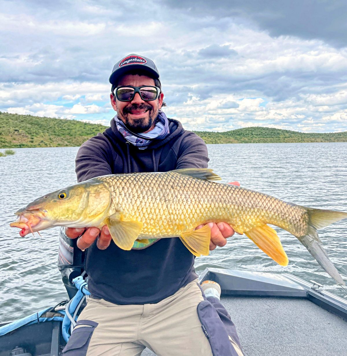
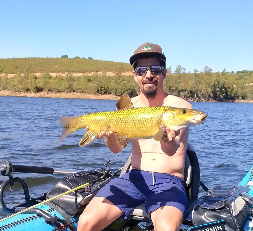
  • Iberian barbel. There is also a good population of barbels, which bite more and more frequently to the artificial lures, coinciding with the entrance of the bleak.
  • Pike. Pike are very rare, although occasionally some catches are made, almost always large old specimens.
  • Zander. Introduced into the reservoir a few years ago, the density today is already high, with many medium-sized specimens.
  • Carp. There are many small and medium sized carps, but they do not usually grow very much. Carp weighing more than 5 kg are rare.

Baitfish in Peña del Águila lake

black bass Villar del Rey
Almost 2kg bass, a really PB for this lake

The bleak has been present for a few years, but its populations are now interesting. Thanks to the explosion of the bleak, predator populations are experiencing an interesting growth.

Crawfish, sunfish and crucian carp complete the species of baitfish. The nase was also an abundant fish, but nowadays it has practically disappeared.

Access and navigation

Peña del Aguila lake
Sunrise in front of Azagala Castle

Since May 2024 it is not navigable by any flotation device as a measure to avoid the propagation of Ludwigia sp.

Except for the area of the dam and two other specific points, its banks are passable, although not too comfortable due to the large amount of stones.  Also it will depends on the level of the lake, the higher it is, more difficult to walk through the shores. Access is very limited due to the presence of large fenced-in properties on its banks, with entry forbidden or no roads leading to the water.

Proserpina lake

Characteristics of Proserpina lake

Proserpina
Proserpina map

With a capacity of 5 hm3 and an area of 72 hectares, I decided to include the small Proserpina lake because of the high quality of the fish that inhabit it. Only 8 km from Merida, its waters are quite clear and its level is very stable throughout the year, around 4hm3. Do you want to know the level in real time? Click here.

The reservoir dates back to Roman times and currently its only uses are related to leisure: fishing, bathing and water sports.

Bottom composition and structures

Beautiful sunset
Proserpina lake

It is located in a granite area and we can find the typical large granite balls. For such a small reservoir, it has a certain depth and we can find areas with moderate slopes to be able to fish a little deeper.

At the bottom the naked rock alternates with large sandy beaches and some loose rocks. We also have 2 submerged islands that are very interesting when we locate them with the echo sounder.

Vegetation and cover

Proserpina lake
Aerial view Proserpina

We can only find a few submerged trunks along the entire bottom of the reservoir. Nonetheless, when it is above 90% of its capacity, there are several fallen trees and some shrubs that remain submerged. There are also quite a few reeds on the shore which offer excellent refuge for fish in such situations, as the reservoir has so little cover.

As for underwater vegetation, there are only a few underwater plants at the mouth of the two streams and in some areas filamentous algae grow along the bottom, especially in late winter and early spring.

Main fish species

Big bass
Black bass +2,5 kg Proserpina
  • Pike. Despite the low capacity of the Proserpina reservoir, the pike population is quite good, with many pike weighing between 1 and 4 kg. Occasionally, some specimens reach 7 or 8 kg.
  • Black bass. The black bass population is also good, although they do not get very fat due to the limited availability of food, they reach very interesting sizes. There is a good population of fish of about half a kilo, but it is not rare to find specimens between 1kg and 1.5kg, some of them reaching over 2kg and even 2.5kg.
  • Iberian barbel. There are some large specimens isolated, but the population is not representative.
  • Carp. Also noteworthy is the size of the carp in this reservoir known among regular visitors as “the pond”. There is a lot of “big” carp, around 8 or 10 kg and some of them reach up to 20 kg, so carpfishing is the most practiced modality.

Baitfish in Proserpina lake

Nice pike in a jerkbait
Pike Proserpina

In the Proserpina reservoir there is no bleak so the crawfish is the main source of food. Also the black bass fry themselves, which reproduce very well in this reservoir thanks to its stability in the spawning period. We can observe large banks of small black bass with the echo sounder in late summer and early autumn.

Finally the sunfish population is also quite important, there are some frogs and in early summer we can see how small black bass prey on dragonflies and other invertebrates.

Access and navigation

Non-engine navigation is allowed, we can use float tube, kayak or pontoon without restrictions. Please note that during the summer months fishing is prohibited at weekends. Along with Alange, is a reservoir very frequented by the inhabitants of Merida and nearby towns, who come to its banks to bathe, refresh themselves and have a snack in the surrounding restaurants.

It is possible to walk along the bank without problems all around the reservoir.

Sierra Brava lake

Characteristics of Sierra Brava lake

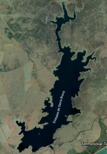
Sierra Brava
Sierra Brava map

With a capacity of 223 hm3 and a flooded area of 1650 hectares, it is a medium sized reservoir, located in the southeast of the province of Cáceres. It is used for the production of hydroelectric energy, but also has an important use for irrigation and drinking water supply. Sierra Brava lake is relatively stable, with average levels ranging from 140 to 200 hm3. Do you want to know its level in real time? Click here.

In addition to sport fishing, it is a very important reservoir for waterfowl, as many visit it temporarily on their migratory routes.

The waters are quite clear most of the year, although in the rainy season they get quite muddy, mainly in the creeks. Currently it is a fishing reserve, managed by a local fishing society, but we can get permits to fish one day in the towns of Zorita and Madrigalejo and through the following link.

Bottom composition and structures

Sierra Brava lake
Pike Sierra Brava

The bedrock is made up of slate, gravel, schist and quartzite and the reservoir stands out for its very gentle slopes along most of its contour. We found slate points and structures that alternate with large beaches.

These slate structures are very interesting points for predators, as it is difficult to reach areas with a certain depth by fishing from the shore.

Vegetation and cover

Underwater holm oaks
Typical bank of Sierra Brava

This reservoir stands out for the large number of good-sized holm oaks immersed in its waters. There are hundreds of holm oaks, however many of them are far from the shore and we cannot access them because navigation is forbidden.

In the main creeks, right at the mouth of the streams, we find small sections with underwater vegetation and some algae.

Main fishing species

It is one of the reference reservoirs for sport fishing in our country and its waters have produced record-sized carp and black bass.

+6 pounder
Black bass Sierra Brava
  • Black Bass. There is a very interesting population, and you can find fish of all sizes. The density of large fish (over 2 kg) is remarkable, and it is not uncommon to find fish weighing over 3 kg.
Nice pike from Sierra Brava
Release of a pike in Sierra Brava
    • Pike. Pike populations are also very good, with all sizes abounding. Catches of pike above one metre in length are also not uncommon. It is a really entertaining reservoir for catching medium-sized pike.
Zander Sierra Brava
Good sized zander, hunting for bleak
  • Zander. It has only been a few years since it reached the reservoir but the populations arestarting to become important. The average size is very interesting and specimens of over 4 kg have already been caught. In Sierra Brava they are really voracious, not hesitating to attack large swimbaits or topwater lures.
  • Carp. It is also a reference reservoir in the world of carpfishing, with frequent catches of sizes between 5 and 15 kg. But in addition to this, its waters are home to large specimens, with carp weighing more than 30 kg.

Baitfish in Sierra Brava lake

The bleak and the crawfish are tremendously abundant, hence the large size of the sport species. Sometimes we can observe real clouds of bleak of several dozens of meters moving through the reservoir. We also have important densities of sunfish and some frogs in the creeks.

Access and navigation

Lunker Sierra Brava
Nice bass from Sierra Brava

Most access to the reservoir is through private properties, some of which are permanently closed. Fishing from any kind of boat is forbidden by the fishing society (bait from boats is allowed for carp anglers), so the only possible option is fishing from the shore. The shores are easily crossed with the only limitation of access, so we will have to take good walks if we want to reach areas with less fishing pressure.

Valdecañas lake

Characteristics of Valdecañas lake

Valdecañas
Valdecañas map

With a capacity of 1446 hm3 and a flooded area of 7300 hectares, Valdecañas lake is the second largest in the province, as well as Alcántara in the Tajo River. Electricity production, irrigation and supply are its main uses. Do you want to know its level in real time? Click here.

The water is a little clearer than Alcantara, but in summer important levels of tubidity are also reached. Their levels also fluctuate quite a bit due to the peaks in electrical energy production. Normally the average levels range from 500 to 1200 hm3.

Bottom composition and structures

Valdecañas lake
Narrow area of the lake,  Nika

In this case the mother rock of most of the reservoir is granite, finding the typical balls, although we also find slate near the dam. The slopes are generally moderate, although we find two very different areas.

Over the first area, closer to the dam, the reservoir is really boxed in, finding a very long section in which the reservoir is very narrow in which cuts alternate with transition areas and tiny creeks.

In the second area, which reaches the tail, the reservoir opens up a lot and is full of beaches, making it ideal for fishing the abundant cyprinids that populate it.

In this area the mother rock is composed of conglomerates and sandstones, generally very degraded and eroded originating large sandy beaches.

Vegetation and cover

Bridge in EX-118 road
Valdecañas bridge

Both the wooden covers (trees and bushes) and the underwater vegetation are scarce in the reservoir, finding only some weeds in the mouths of creeks, in the area closest to the main tail. Abrupt changes in level make it difficult for this type of plant to establish itself.

Main fish species

Like Alcantara, the diversity of species we can find is really high, highlighting the following:

  • Black Bass. Good population of black bass, although it is not the ideal place to try to beat our record, we can spend entertaining days.
  • Zander. It has inhabited the reservoir for many years now, the population is also stable and abundant.
  • Catfish. Present for several years, we can find larger and larger specimens, some of which have already been captured above 2 m.
  • Pike. It is not particularly abundant in the reservoir, although we have years in which there are more catches than others.
  • Iberian barbel. Very good population of barbels, we can tempt them with lures or other techniques (feeder, match, carpfishing, fly …)
  • Carp. Carp are also very abundant in this reservoir, although most are medium sized and do not usually reach really large sizes.

Baitfish in Valdecañas lake

Valdecañas lake
Area of the dam wall, Nika

The bleak is the main species of baitfish, although we have very high densities of cyprinids, which also offer a good source of food during their first months of life. Carps, crucian carps and barbels are the most abundant, although there were also once large schools of nase whose populations have been drastically reduced.

We also have little channel catfish, sunfish and of course a lot of crawfish as well.

Access and navigation

Navigation is allowed with significant limitations (see map of restrictions) due mainly to the preservation of the breeding grounds of some protected birds. It should be noted that navigation with float tubes and pontoons requires a permit, as in the case of the other reservoirs in the Tajo basin.

The area closest to the dam is complicated for fishing from the shore, both because of its limited access and because of its steepness. The area that is most open to the main creek is easily accessible.

Valdeobispo lake

Characteristics of Valdeobispo lake

Valdeobispo
Valdeobispo map

With a capacity of 53 hm3 and a surface area of 357 hectares, the small Valdeobispo lake, located in the north of the province of Cáceres, is famous for its large and elusive black bass. Do you want to know its level in real time? Click here.

Very clear water reservoir, whose main use is the irrigation of adjacent crops, usually maintains a fairly stable level ranging normally between 46 and 51 hm3. Because its stability it’s a very “natural” lake, so it’s one of the most beautiful reservoirs in Extremadura.

Bottom composition and structures

Valdeobispo lake
Valdeobispo dam

Quite a dam in which the granite is the mother rock, its banks are quite steep and we can find some submerged islands. The main structures are the large granite balls that we find at different depths, as well as stone walls at different points of the reservoir.

Vegetation and cover

The level is quite stable so we find a lot of riverside vegetation on the same shore, offering a lot of shade and cover “outside” the water on the same shore.

We also found areas of reeds and some holm oak skeletons that were submerged after the construction of the reservoir. We also found weeds in certain areas, mainly in the creeks.

Main fish species

Although the density of predators is not excessively high, we can find good specimens of pike and especially black bass.

  • Black Bass. The density of black bass is not particularly high, as the reservoir is very boxed in and there are not too many kilometres of shore… However, some specimens reach large sizes, with the largest specimens even reaching 3 kg.
    Valdeobispo lake
    Iberian barbel Valdeobispo
  • Barbel. There is a good population of both common and iberian barbels and occasionally they can be fished with lures.
  • Pike. Like the black bass, there are not very high densities, but there is a notable population of medium-sized pike, with occasional large specimens being caught.
  • Carp. The carp reach interesting sizes, although it is not an enclave to capture record specimens, we can capture specimens above 10 kg with some frequency.

Baitfish in Valdeobispo lake

It is one of the few reservoirs where the nase survives with interesting populations, despite the pressure of predators, the arrival of the bleak from Gabriel y Galán and the scarcity of spawning grounds are a series of threats.

There is also a lot of sunfish, crawfish and small barbels.

Access and navigation

Navigation is limited in much of lake during the first half of the year by the breeding of sensitive birds. In this reservoir the shore is very difficult to navigate due to the enclosure and the great density of the vegetation (bushes, oaks and other riverside trees) so except in very specific points, the float tube or the pontoon will be our best option.

Like the rest of the reservoirs in the Tajo basin, it is necessary to apply for a navigation permit.

Zújar lake

Characteristics of Zújar lake

Zújar
Zújar map

At the time of its construction, Zújar lake had a capacity of 700 hm3 , but after the construction of La Serena (La Serena lake was built in the middle of the Zújar reservoir section) its capacity was reduced to 309 hm3 and 1449 hectares. Do you want to know its level in real time? Click here.

Its main use is irrigation, supplying water to more than 4500 agricultural hectares, although it is also used for the supply and production of electricity. It is a reservoir of rather clear waters, with frequent changes in level due to water releases of La Serena, depending on the needs of the moment. These changes are not usually too drastic and the level usually varies between 220 and 280 hm3.

Bottom composition and structures

View from Puebla's castle
Zújar lake

Like La Serena, the reservoir is located in an area of plains with few trees, but here the River Zújar is a little more boxed in and the slopes are steeper. In a large part of the reservoir we find bare rock (mainly slate and sandstone) at the bottom, although we also find some areas of beaches.

Embalse del Zújar
Former shepherd’s house, Juan Manuel Holguín

There are several islands, at different depths and some small cuts near the dam, but it is not a reservoir where rock structures abound, as the banks are not too steep.Also we can find some remains of human constructions, not too many but for that reason they are usually good spots for predators. There is also an emerged bridge and two submerged ones, in whose surroundings there is usually fishing.

Vegetation and cover

Zújar lake
Island in Zújar, Juan Manuel Holguín

We hardly find trees, bushes and other submerged wooden covers, however underwater vegetation does abound, providing excellent cover for fish. Here we can find seaweeds of several tens of meters, not excessively thick and very nice to fish.

The banks are surrounded by eucalyptus in many areas, but the waters rarely reach their level.

Main fish species

It does not have the reputation of Orellana or La Serena, and probably not their densities of quality fish, but it can give us some surprise if we devote the necessary time.

prespawn bass
Black bass Zújar
  • Black Bass. There is a good population of black bass, although there are not many, and with a rather small average size. However, an interesting number of specimens exceed 2 kg in weight, some even exceed 3kg.
  • Pike. The density of pike is not exaggerated either, but they also reach good sizes, and it is possible to catch pike above one metre in length.
  • Channel catfish. As in La Serena, it abounds in these waters, reaching very good sizes.
  • Barbel. There is quite a lot of barbel, probably less than in La Serena but it is “easier” to capture large specimens since there is less density of small ones.
  • Carp. Abundant in the reservoir, although less than in La Serena because it has far fewer kilometres of shore to feed on.

Baitfish in Zújar lake

Big Black Bass
Big bass that bit after atacking a channel catfish

There’s a lot of bleak in the reservoir, providing extraordinary food for all the predators. We also find banks of small cyprinids (carp, crucian carp, barbel…), mainly in summer and of course crawfish and sunfish.

Catfish are really abundant in all sizes and can be considered both prey and predator.

Sometimes there are a lot of predators real far from the shore because of they are feeding on schools of small fish.

Access and navigation

Navigation is permitted except near the walls, the Zújar reservoir itself and La Serena reservoir.

The banks are not as easily passable as those of La Serena, although we can walk along most of them without problems. The accesses are more limited and we will have to walk several km if we want to access certain areas.